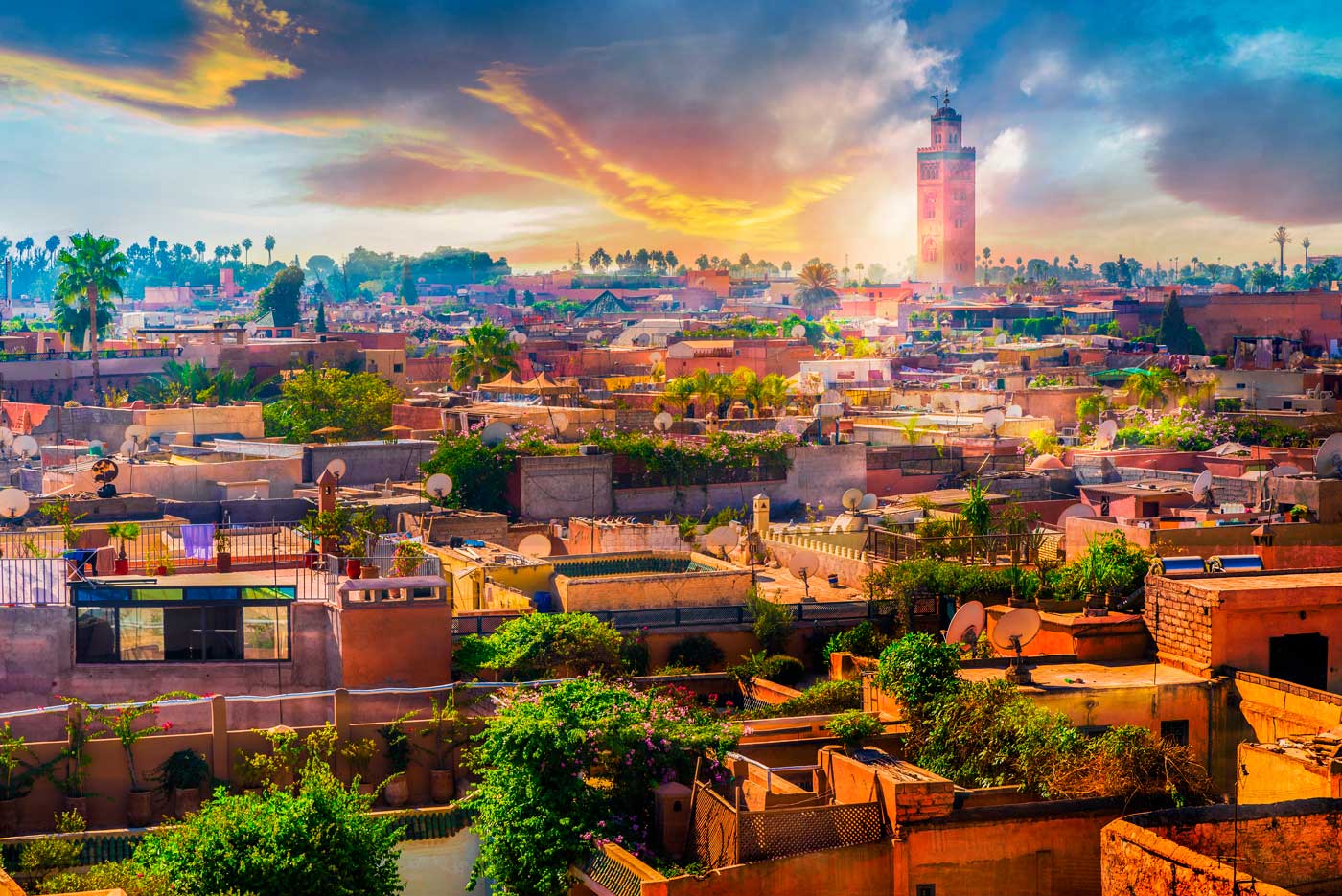
The Marrakech-Safi region covers an area of 39,167 km² and has a population of 4,520,569 (RGPH2 2014), i.e. a density of 115 inhabitants per km² and an area of 5.5% of the national territory. It is bordered to the north by the Grand Casablanca-Settat region, to the east by the Beni Mellal-Khénifra region, to the southeast by the Drâa-Tafilalet region, to the south by the Souss-Massa region, and to the west by the Atlantic Ocean.
- Land resources: The agricultural sector employs almost 53% of the active population of the region. The region’s weight at the national level is significant, since it holds 22% of the country’s Utilised Agricultural Area (UAA), which places it in first place according to the importance of this area. The region’s UAA18 represents 48.6% of the total regional area (1,904,363 hectares). By province, El Kelâa des Sraghna holds 31%, followed by Safi and Chichaoua with 30% and 15% respectively. The irrigated areas are of the order of 301,277 hectares, i.e. nearly 16% of the regional UAA and 24% of the irrigated UAA at national level, which shows its importance in the region.
- Cereal crops (barley, durum wheat, soft wheat): 12,569,900 quintals on 1,355,400 hectares
- Legume crops: 119,100 quintals on 18,600 hectares
- Sugar crops: 1,013,400 quintals on 1,400 hectares
- Citrus crops: 257,360.8 tonnes on 17,005.4 hectares
- Vegetable crops (first crop: potato): 22,852 hectares
- Fodder crops (corn fodder, alfalfa, and berseem): 34,278 hectares
- Sea fishing (white fish, pelagic fish, shellfish, cephalopods): The region of Marrakech-Safi boasts a 270km coastline, yielding 50,291 tonnes valued at MAD414,921,000
