


Dakhla-Oued Eddahab
Dakhla-Oued Ed-Dahab is the southernmost and largest region of Morocco (142,865 Km²). It is bordered to the north by Laâyoune-Sakia El Hamra region, to the east and south by Mauritania, and to the west by the Atlantic Ocean.
- Greenhouse crops (cherry tomatoes, melons, organic crops, and fodder): 66,000 tonnes
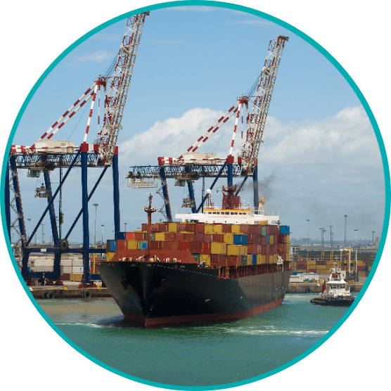
- Sea fishing (pelagic fish, white fish, cephalopods, crustaceans): 612,307 tonnes valued at MAD2,656,898, i.e. 46% of the national fisheries production in volume and 34% in value.

Laâyoune – Sakia El Hamra
The region of Laâyoune-Sakia El Hamra covers an area of 140,018 Km², i.e. 19.7% of the national territory, and is composed of four provinces: Boujdour, Es-Smara, Laâyoune, and Tarfaya. The region of Laâyoune Sakia El Hamra is bordered to the north by the province of Tantan, to the south by the region of Oued Eddahab-Laguira, to the west by the Atlantic Ocean, and to the east by Mauritania.
- Land resources: Water is the limiting factor in the development of agriculture in this region, undermining the possibility of population settlement. There are 4,892 farms in the region. In 1996, they covered a useful agricultural area of 17,500 hectares, i.e. an average area of 3.6 hectares per farm, which is lower than the national average (5.8 hectares). As the number of plots is lower than the number of farms, the average plot size is 3.9 hectares, which is larger than the average farm size. Despite its size, the region of Laâyoune-Boujdour-Sakia El Hamra accounts for only 12.8% of the total UAA of the three southern regions, and the farms are smaller.
- Maritime fishing (white fish, pelagic fish, shellfish, cephalopods): The region boasts a 585km-long coastline, yielding 217,441 tonnes in fishing activity valued at MAD2,125,330
Guelmim – Oued Noun
The region of Guelmim-Oued Noun covers an area of 58,268 Km², which is 8% of the national territory. It is bordered to the north by the Souss-Massa region, to the south by the Laâyoune-Sakia El Hamra region, to the east by Algeria and the Islamic Republic of Mauritania, and to the west by the Atlantic Ocean.
- Land resources: In the Guelmim-Oued Noun region, the UAA covers, in 2016, approximately 63,564 hectares. The UAA is divided into Bour, Faid, and irrigated land, and unequally among the four provinces: 51% of the regional UAA in Guelmim, 33% in Sidi Ifni, 8% in Tan Tan, and 8% in Assa Zag.
- Cereal crops (barley): 2,400 quintals on 7,574 hectares
- Legume crops (carrots, tomatoes, turnips, courgettes): 70,580 quintals over 2,184 hectares
- Fodder crops: 37,500 quintals on 500 hectares
- Tree crops (mainly date palms): 667,900 date palms
- Sea fishing (white fish, pelagic fish, crustaceans, cephalopods): 106,563 tonnes valued at MAD481,456,000
Souss – Massa
The Souss-Massa region covers an area of 53,789 km², i.e. 7.6% of the national territory, and includes two prefectures (Agadir Ida Outanane and Inzegane Ait Melloul) and four provinces (Chtouka Ait Baha, Taroudant, Tiznit, and Tata), which group together 175 communes (21 urban communes and 154 rural communes). The region is limited to the north by the Marrakech-Safi region, to the south by the Guelmim-Oued Noun region, to the east by the Drâa-Tafilelt region and the Algerian border, and to the west by the Atlantic Ocean. Its capital is Agadir.
- Land resources: The agricultural sector constitutes one of the major pillars of the region's economic activity, despite unfavourable climatic factors; a dry climate and a UAA of only about (9%) of the total regional area (450,000 hectares). The most fertile lands are essentially located in the plains of Souss Massa, where early crops and citrus fruits are the main productions.
- Cereal crops (barley, durum wheat, soft wheat): 234,290 tonnes on 451,165 hectares
- Legume crops: 500 quintals on 100 hectares
- Vegetable crops: 1,600,295 tonnes
- Citrus crops: 812,836.8 tonnes on 40,065 hectares
- Sea fishing (pelagic fish, white fish, cephalopods, shellfish): The region has a 180km-long coastline, yielding 30,625 tonnes of fishing activity valued at MAD318,949,000

Darâa – Tafilalet
The Drâa-Tafilalet region represents 12.5% of the national territory. It is bordered to the north by the regions of Fes-Meknes and Beni Mellal-Khenifra, to the east by the Oriental region and Algeria, and to the west by the Marrakech-Safi region and the Souss-Massa region, as well as by Algeria to the south.
- Land resources: The agricultural sector in the Drâa-Tafilalet region represents 90% of its economy and employs 60% of its population. The region is known for its harsh climatic conditions as well as the lack of water resources and fertile land. However, this does not prevent the region's oasis agriculture from offering high value-added niches such as the "Majhoul" (Medjool) dates.
- Cereal crops (barley, durum wheat, soft wheat): 2,520,000 quintals over 758,218 hectares
- Legume crops (beans, peas, chickpeas, lentils): 39,500 quintals over 4,000 hectares
- Date crops: 116,000 tonnes and 1,200 palm trees planted per year
- Olive crops: 52,205,000 quintals over 17,613 hectares
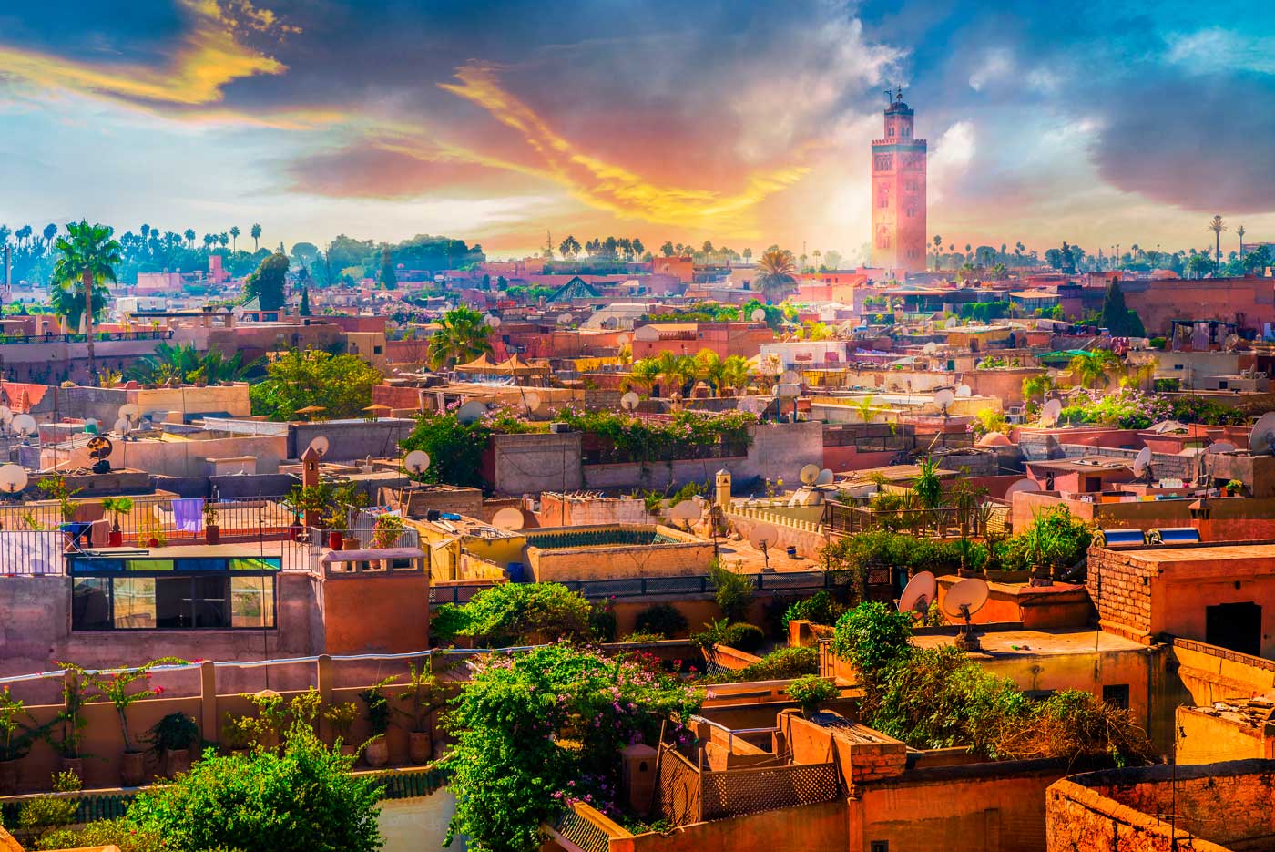
Marrakech – Safi
The Marrakech-Safi region covers an area of 39,167 km² and has a population of 4,520,569 (RGPH2 2014), i.e. a density of 115 inhabitants per km² and an area of 5.5% of the national territory. It is bordered to the north by the Grand Casablanca-Settat region, to the east by the Beni Mellal-Khénifra region, to the southeast by the Drâa-Tafilalet region, to the south by the Souss-Massa region, and to the west by the Atlantic Ocean.
- Land resources: The agricultural sector employs almost 53% of the active population of the region. The region's weight at the national level is significant, since it holds 22% of the country’s Utilised Agricultural Area (UAA), which places it in first place according to the importance of this area. The region's UAA18 represents 48.6% of the total regional area (1,904,363 hectares). By province, El Kelâa des Sraghna holds 31%, followed by Safi and Chichaoua with 30% and 15% respectively. The irrigated areas are of the order of 301,277 hectares, i.e. nearly 16% of the regional UAA and 24% of the irrigated UAA at national level, which shows its importance in the region.
- Cereal crops (barley, durum wheat, soft wheat): 12,569,900 quintals on 1,355,400 hectares
- Legume crops: 119,100 quintals on 18,600 hectares
- Sugar crops: 1,013,400 quintals on 1,400 hectares
- Citrus crops: 257,360.8 tonnes on 17,005.4 hectares
- Vegetable crops (first crop: potato): 22,852 hectares
- Fodder crops (corn fodder, alfalfa, and berseem): 34,278 hectares
- Sea fishing (white fish, pelagic fish, shellfish, cephalopods): The region of Marrakech-Safi boasts a 270km coastline, yielding 50,291 tonnes valued at MAD414,921,000
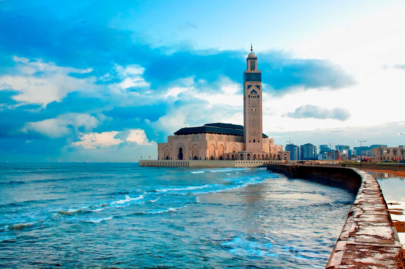
Casablanca-Settat
Casablanca-Settat region covers an estimated area of 19,448 km², i.e. nearly 2.7% of national territory. This region hosts 20.3% of the total population of the Kingdom, and is growing at an average annual rate of 1.54% between 2004 and 2014. This growth rate is slightly higher than that recorded at the national level (1.25%). Moreover, the region is home to 24.7% of the national urban population and 13.5% of the rural population.
- Land resources: Casablanca-Settat region is an agricultural region par excellence. It has a natural environment with a strong agricultural potential, and benefits from a favourable climate and a utilised agricultural area (UAA) estimated at 1,356,933 ha; i.e. nearly two thirds of the total surface area of the region and approximately 14.9% of the national UAA.
- Cereal crops (barley, durum wheat, soft wheat, maize): 5,785,306 quintals over 758,218 hectares
- Legume crops: 39,900 quintals over 13,145 hectares
- Vegetable crops (first crop: potato): 1,046,705 tonnes over 37,144 hectares
- Fodder crops (corn fodder, alfalfa, and berseem): 2,080,653 tonnes over 79,943 hectares
- Tree crops (table grapes, wine grapes, fig trees, olive trees, papaya trees, etc.): 109,165 tonnes over 34,847 hectares
- Industrial crops (sugar beet): 1,603,978 tonnes over 18,484 hectares
- Aromatic crops (roses): 55.6 million flowers over 44 hectares
- Sea fishing: The Casablanca-Settat region has a 235km-long coastline, resulting in a vibrant fishing activity: 48,798 tonnes valued at MAD355,394,000

Beni Mellal- Khenifra
The region of Beni Mellal-Khenifra covers an area of 28,374 Km², i.e. 3.99% of the national territory. It is bordered to the north by Rabat-Salé-Kenitra region, to the north-east by Meknes-Tafilalet region, to the south and south-west by Drâa-Tafilalet region and to the east by Casablanca-Settat and Marrakech-Safi regions.
- Land resources: Agriculture represents the main activity in the region, both in terms of the jobs created in rural areas and the effects on the regional economy (19.8% of the regional 2015 GDP). With its plains (Tadla) and its significant water resources, the region offers enormous opportunities for the development of modern agriculture with strong agro-industrial potential.
- Cereal crops (barley, durum wheat, soft wheat): 3,789,300 quintals over 591,700 hectares
- Legume crops (beans, peas, lentils, chickpeas): 65,006 quintals over 10,679 hectares
- Vegetable crops: 3,199,880 quintals over 14,000 hectares
- Fodder crops: 26 346 380 quintals over 82,880 hectares
- Industrial crops (sugar beet, nora peppers): 8,888,460 quintals over 15,180 hectares
- Oilseed crops: 10,050 quintals over 1,490 hectares
- Citrus crops: 4,666,000 quintals over 17,700 hectares
- Rosaceous crop: 1,591,490 quintals over 11,450 hectares
- Olive crops: 2, 974,770 quintals over 113,850 hectares

Rabat-Salé-Kenitra
Rabat-Salé-Kenitra region covers an area of 18,194 km² and is home to 4,581,000 inhabitants (census of 2014), i.e. a density of 251.8 inhabitants per km² and an area of 2.56% of national territory. It is bordered to the north by the region of Tanger-Tetouan-Al Hoceima, to the east by the region of Fes-Meknes, to the south by the region of Beni Mellal-Khenifra and the region of Casablanca- Settat, and to the west by the Atlantic Ocean.
- Land resources: The region has 12% of the country’s utilised agricultural area (1,019,369 ha), with an agriculture that is based on the exploitation of a fairly well-balanced agro-silvopastoral system. This region is one of the most important rain-fed agricultural regions of the Kingdom, thanks to the extent of its cultivable land and its relatively favourable climate. This places it in the 4th position in terms of the importance of this surface. The utilised agricultural area (UAA) is distributed between the urban area of Rabat-Salé-Temara with 68,800 ha (7%), the province of Khemisset with 372,700 ha (37%), Sidi Kacem (29%) and Kenitra (28%), representing 56% of the total regional area.
- Cereal crops (barley, durum wheat, soft wheat): 15,500,322 quintals over 598.2 thousand hectares
- Legume crops: 655,500 quintals over 58,600 hectares
- Sugar crops: 10,987,600 quintals over 19,000 hectares
- Oilseed crops: 428, 300 quintals over 23,700 hectares
- Citrus crops: 452,879.5 tonnes over 24,594.9 hectares
- Sea fishing (white fish, pelagic fish, crustaceans, cephalopods): 4,743 tonnes valued at MAD63,941,000

Fes-Meknes
Located in the north-centre of Morocco, the region of Fes-Meknes, whose capital is the city of Fes, is among the prominent 12 regions of the Kingdom. The region of Fes-Meknes covers an area of 40,075 Km², representing 5.7% of the Kingdom's surface area. Its administrative boundaries are as follows: It is bounded to the north by the region of Tanger-Tetouan-Al Hoceima, to the west by the region of Rabat-Salé-Kenitra, to the south-west by the region of Beni Mellal-Khenifra, to the east by the Oriental region, and to the south by the region of Drâa-Tafilalet.
- Land resources: The utilised agricultural area at the level of Fes-Meknes region is estimated at 1,335,639 hectares, i.e. 15% of the national UAA. The total area of irrigated land is about 1,251,456 hectares, i.e. 9% of the total area of agricultural land in the region.
- Cereal crops (barley, durum wheat, soft wheat): 20,430,100 quintals over 820,700 hectares
- Legume crops: 1,102,000 quintals over 124,100 hectares
- Oilseed crops: 10,800 quintals over 1,500 hectares
- Citrus crops: 67,800 tonnes over 4,500 hectares
Oriental
Bounded by the Mediterranean to the north and the pre-Saharan region to the south, and bordered by the central Rif to the west and the Moroccan-Algerian border to the east, the Oriental region covers 9,0130 km², i.e. 12.7% of the national territory. It is located in an exceptional geographical zone linking Europe, the Greater Maghreb, and the Mediterranean basin. This strategic position gives the region a key role in Morocco in terms of its relations with neighbouring countries to the east and north of the country.
- Land resources: With a utilised agricultural area of 889,450 ha (2018-2019 crop year), the region can pride itself on being one of Morocco’s granaries. The Oriental region has great potential in the olive, citrus, market garden, date, and livestock sectors. The region's agricultural products are now known worldwide with labels obtained since 2010: clementine of Berkane, lamb of Beni Guil, dates of Aziza Bouzid, medlars of Zegzel, in addition to rosemary and olive oil.
- Cereal crops (barley, durum wheat, soft wheat): 504,530 quintals over 275,061 hectares
- Legume crops: 618 quintals over 1,490 hectares
- Vegetable corps: 2,679,750 quintals over 13,617 hectares
- Greenhouse vegetable crops: 106,270 quintals over 134 hectares
- Industrial crops (sugar beet): 3,805,000 quintals over 7,378 hectares
- Fodder crops: 6,987,050 quintals over 20,413 hectares
- Citrus crops: 2,800,000 quintals over 18,300 hectares
- Arboreal crops (vines, olive trees, pear trees, date palms, carob trees, etc.): 3,994,760 quintals over 174,050 hectares
- Sea fishing (cephalopods, crustaceans, white fish, pelagic fish, shellfish): 6,933,496 kg valued at MAD136,975,662

Tanger – Tétouan – Al Hoceima
Located at the junction of two seas in the north-western part of the Kingdom of Morocco, spread over an area of 17,262 km², the region of Tanger- Tetouan-Al Hoceima is bounded to the north by the Strait of Gibraltar and the Mediterranean, to the west by the Atlantic Ocean, to the south-west by the region of Rabat-Salé-Kenitra, to the south-east by the region of Fes-Meknes, and to the east by the Oriental region .
- Land resources: In 2016, the utilised agricultural area (UAA) covered about 722,441 ha, representing 42% of the regional territory. The province of Al Hoceima, with its 24% of regional UAA, is the region’s largest in terms of UAA, followed by the provinces of Ouezzane (22%) and Larache (20%). The area of irrigated lands in the region stood at 56,125 ha in 2016, accounting for 9% of ploughed land, 35% of which being located in the province of Larache and 27% in the province of Al Hoceima.
- Cereal crops (wheat, barley, corn, oats, rice, sorghum): 5 million quintals
- Legume crops (beans, peas, lentils, chickpeas, etc.): 236,790 quintals, i.e. 24% of national production
- Industrial and sugar crops (sugar beet, sugar cane, etc.): 2.6 million quintals (57% of national production)
- Oilseed crops (groundnuts, sunflowers, etc.): 152,260 quintals
- Vegetable crops (tomatoes, potatoes, onions): 4 million quintals
- Fodder crops: 12.44 million quintals of green matter
- Fruit growing (citrus, almonds, olives, vines, table grapes, Rosaceae): The total surface area of fruit trees is approximately 242,000 ha, almost 2/3 of which is cultivated in the provinces of Chefchaouen, Ouezzane, and Al Hoceima. Olive trees, the main fruit-growing species, represent 65% of the arboreal area.
- Sea fishing (cephalopods, crustaceans, white and pelagic fish): 31,921,000 kg valued at MAD227,074,000